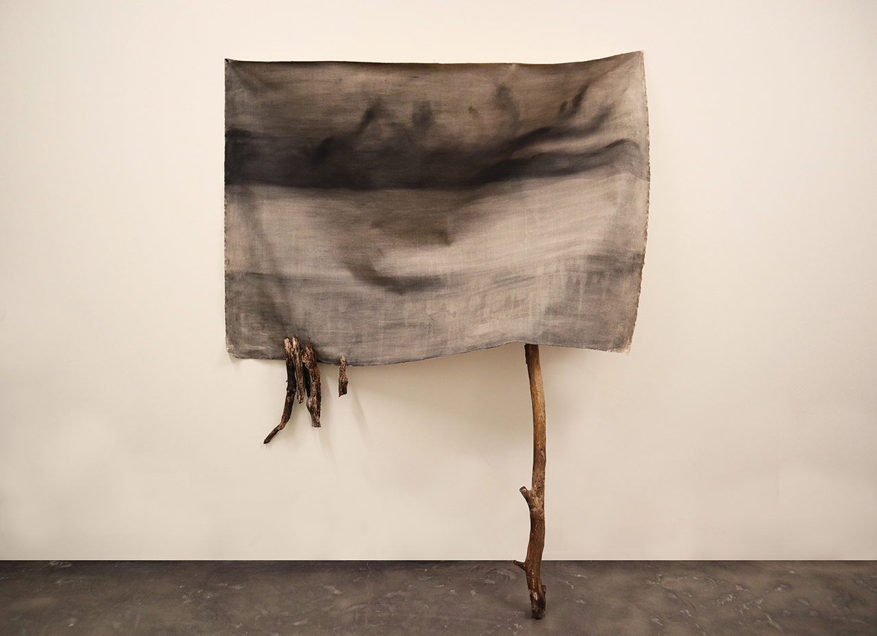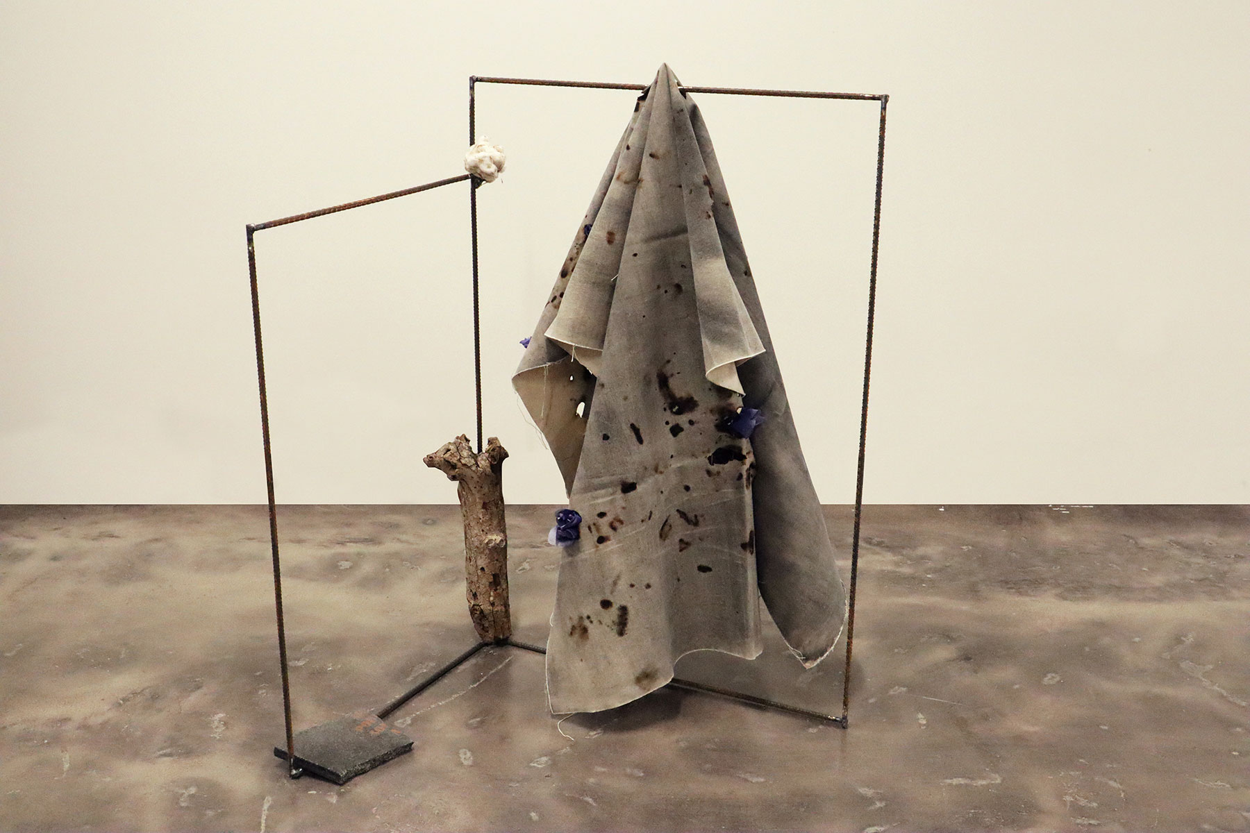
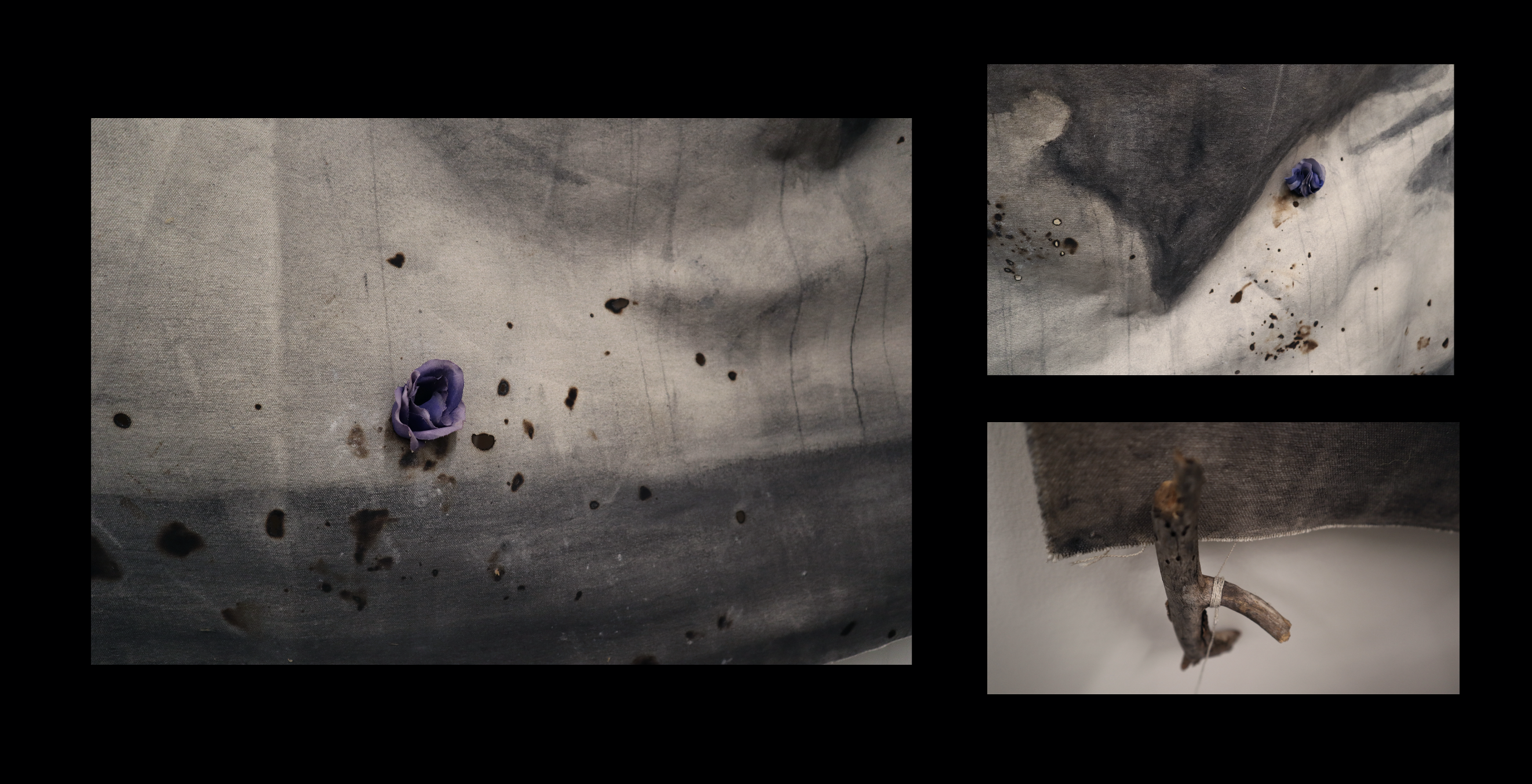
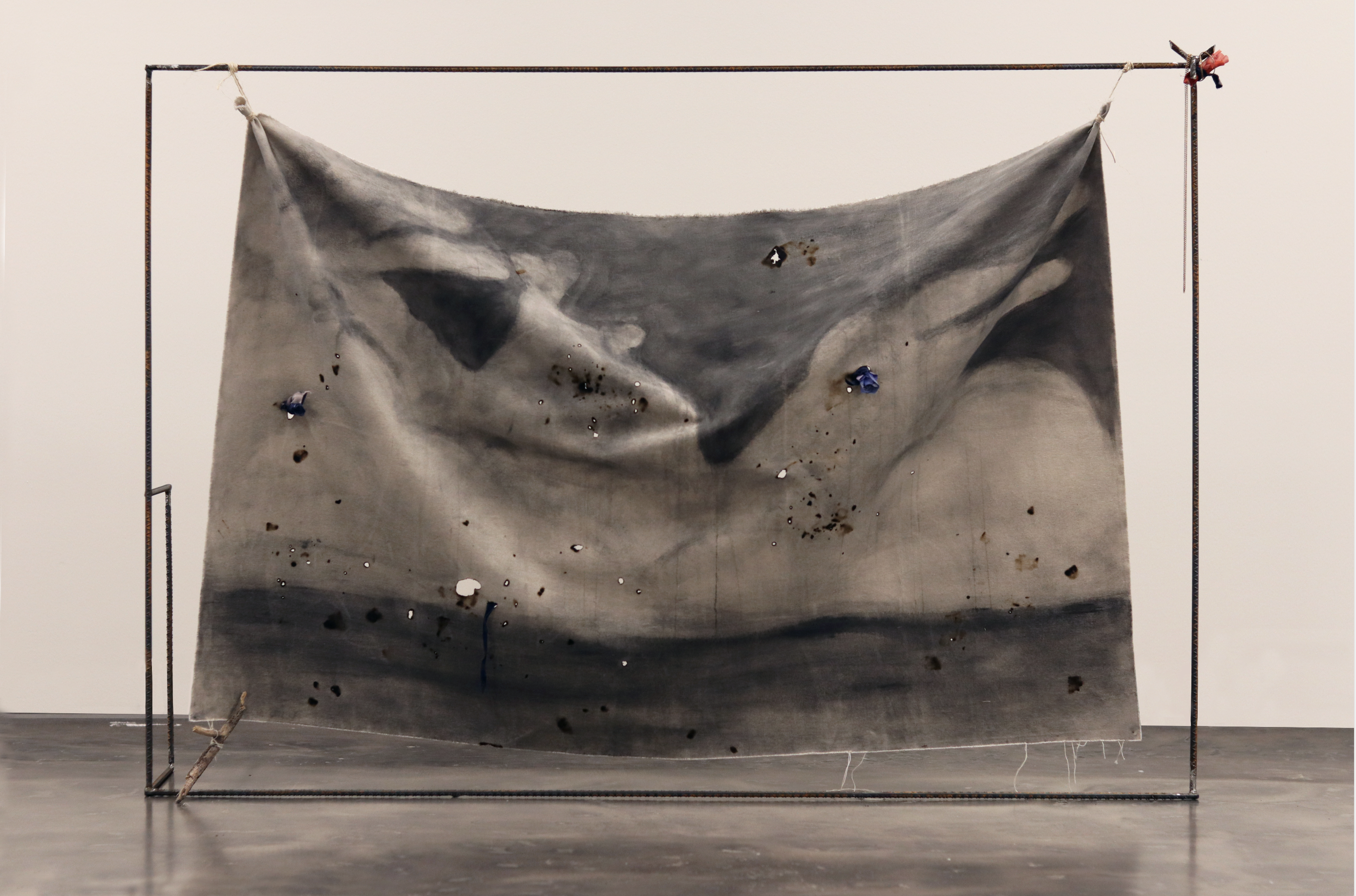

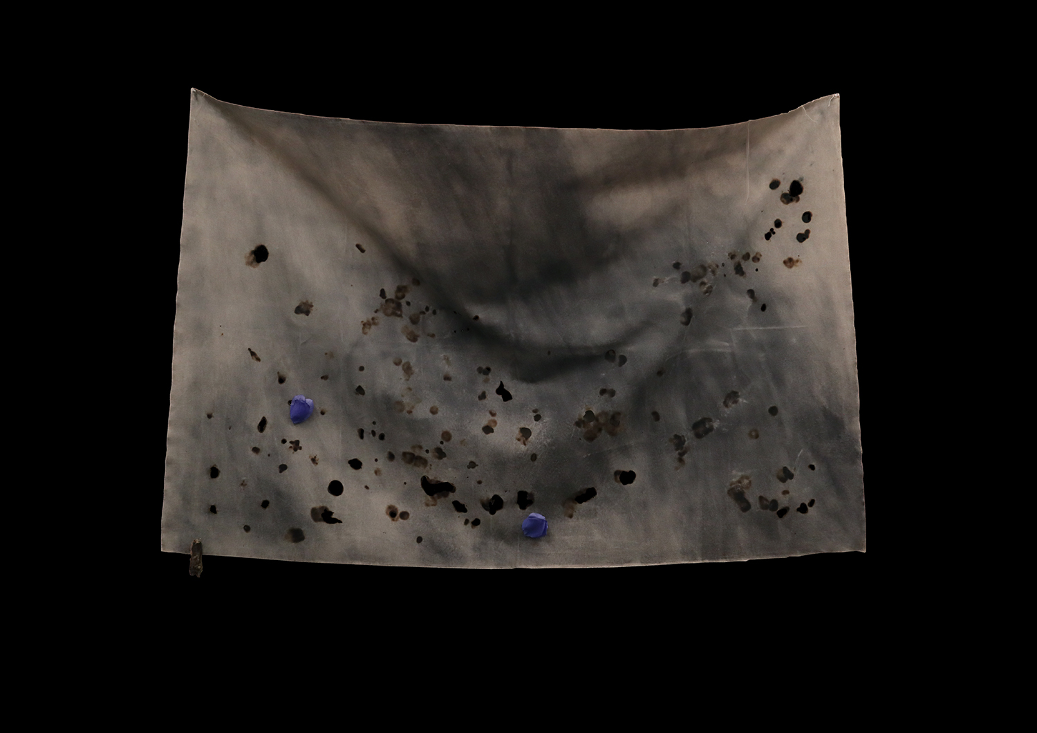
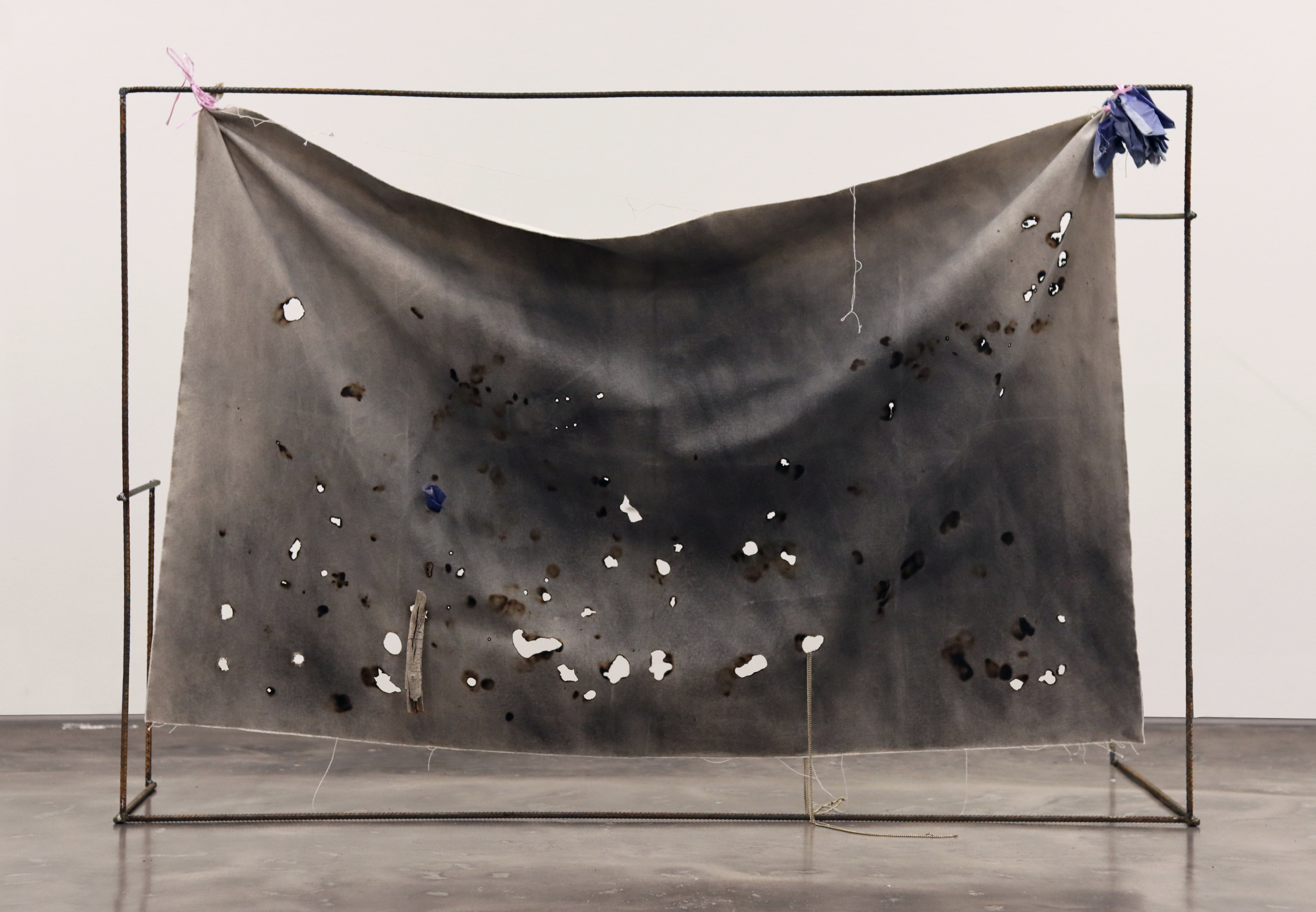
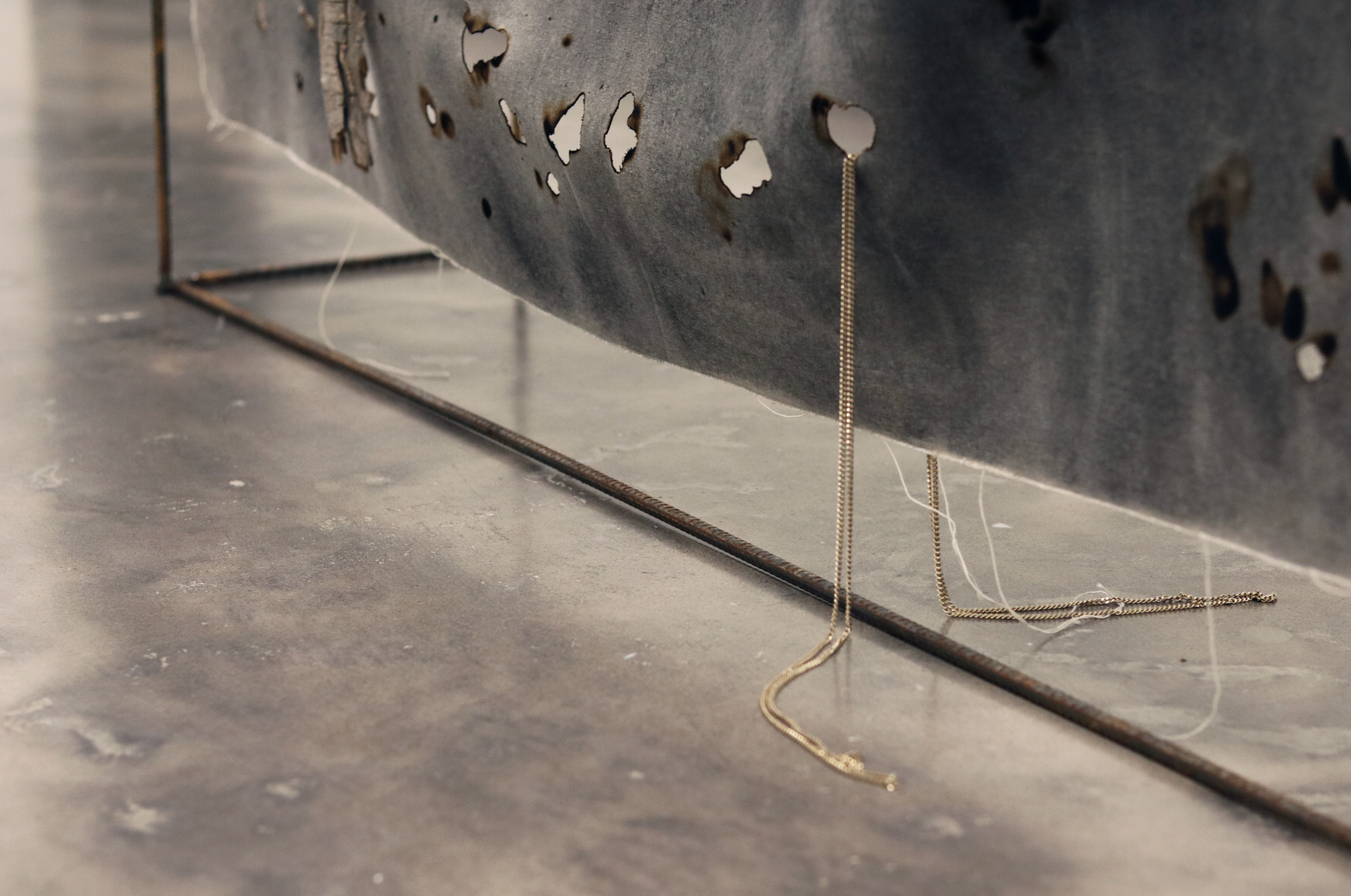

To set the US-Mexico borderline, the agents of the binational Commission of Limits created in 1848 used a variety of methods. One of them was based on a series of astronomical observations to find the coordinates previously described in legal and diplomatic documents such as the Treaty of Guadalupe. After that process, the sky became a surveying tool. These pieces explore the border skies, reclaiming them as "natural" spaces that don't have to follow instructions of the political-economical power.
